Schedule a Meeting

BIM Standards

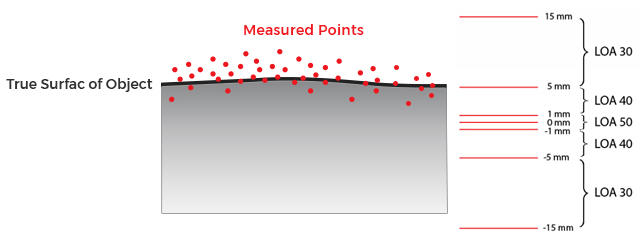
The point Cloud Accuracy can be defined in several ways. Just like BIM models that are classified into 5 categories based on details provided in the model, the point cloud coming out of the scan can also be classified into 5 Different Levels of Accuracy:

  • 1. LOA 10 (Lowest Accuracy)
  • 2. LOA 20
  • 3. LOA 30
  • 4. LOA 40
  • 5. LOA 50 (Highest Accuracy)
dig1

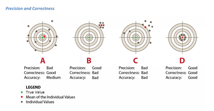
Other way to classify the accuracy of point cloud is based on the precision and correctness.

Precision
The precision component describes the bandwidth of repeated statistically-independent measurements under identical conditions and is mainly defined by the random deviations (e.g., measurement noise) of a sensor.

Correctness
In contrast to the precision component, the correctness of a measurement is mostly influenced by systematic deviations (e.g., due to mis-calibrated equipment, bad angles of incidence or effects resulting from the object’s surface).

Good accuracy values can only be obtained if both the precision and the correctness components have little, if any, influence. The accuracy, therefore, consists of both precision and correctness and describes the accordance of a measurements result regarding the true value.

dig2

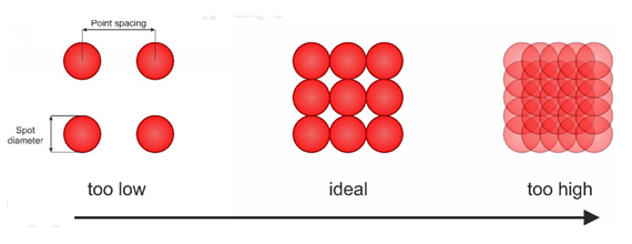
Also, the one more way check the quality of the point cloud is the point spacing.

dig3

Different Types of Scanners

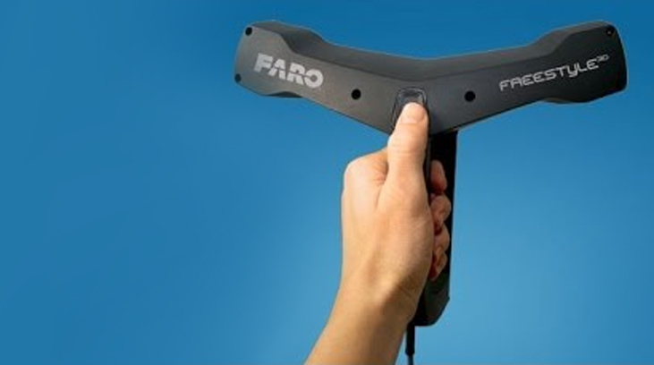
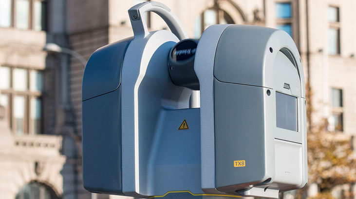
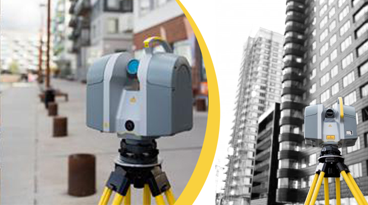
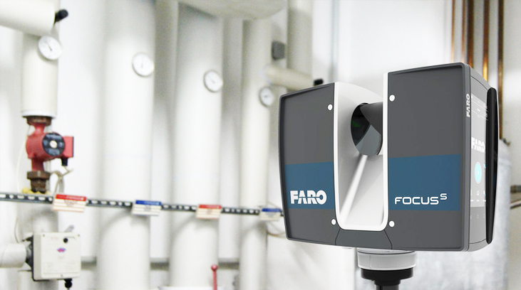
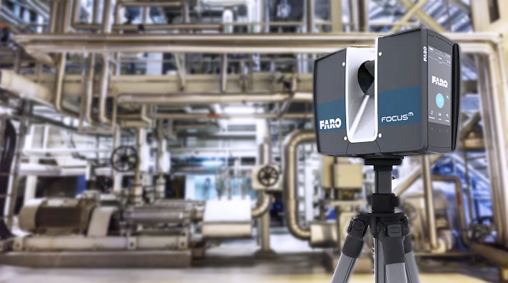
1. Station Based Scanner- Trimble TX8, Trimble TX 6, Faros Focuss and Faro Focusm

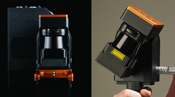
2. Mobile Scanner- Geo Slam Zeb Revo

Station Based Scanners:

tx8

01.

Trimble TX 8

  1. a. Very High Accuracy and Fastest Scanner
  2. b. Point spacing 0 mm at 10 m. LOA 50
  3. c. Scanning range 0.6m to 120m
  4. d. 1,000,000 Points Per second

02.

Trimble TX 6

  1. a. Very High Accuracy
  2. b. Point Spacing 0 mm at 10m. LOA 50
  3. c. Scanning Range: - 0.6m to 80m
  4. d. 5,000,000 Point Per Second
tx8
faro-focus

03.

Faro Focus

  1. a. High Accuracy Scans
  2. b. Point Spacing +- 1mm at 10 m LOA 50
  3. c. Scanning range 0.6m to 70m

04.

Faro Focusm 70

  1. a. Scans to LOA 40
  2. b. Point Spacing +- 3mm at 10m
  3. c. Scanning Range 0.6m to 70m
faro-focus-70

Mobile Scanner:

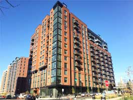
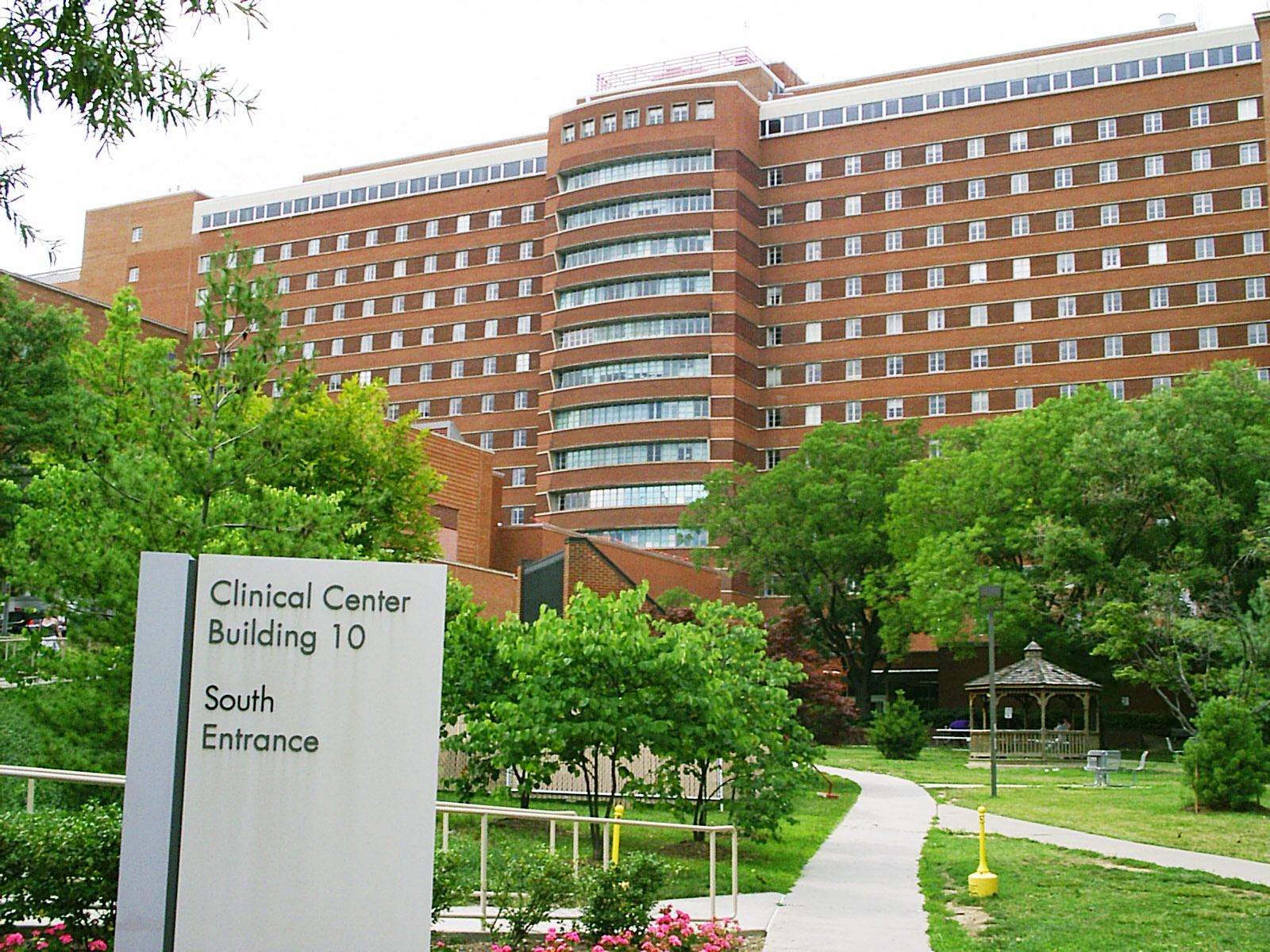
Ideal for the Pro-Active Project Management. Great for identifying the installations. Ideal tool for Project Management and for keeping the track of construction progress

geo-slam-zeb-revo

01.

Geo Slam Zeb Revo

  1. a. Very Fast Scanning: - Just Walk an Scan- almost 4 feet’s/sec.
  2. b. Scans to LOA 40
  3. c. 3D Accuracy +-0.1%
  4. d. Scanning Range: - 30m(indoor) and 15 m (outdoor)
  5. e. Point Cloud in Greyscale

02.

Paracosm PX-80

  1. a. Fast Scanning: - 50 fps, 320M Pixels/Second
  2. b. Accuracy: - +-2-3 cm
  3. c. Range 100m
  4. d. 300,000 points per Second
  5. e. Point Cloud is Colorized
tx8
farto-freestyle

03.

Faro Freestyle

  1. a. Hight precision scan for short range
  2. b. Scans to LOA 50
  3. c. Point Accuracy +- 1 mm
  4. d. Scanning Range 0.5m to 3m
  5. e. Scan can be combined with scans from other scanner
  6. f. Recommended to use for scanning in specific areas which require a very high quality scan

Projects

Atlantic Plumbing Redevelopment

Plumbing Fire Protection Electrical Mechanical Piping

Howard Hughes Medical Institute

Plumbing Fire Protection Electrical Mechanical Piping

INOVA Fair Oaks Hospital Medical Office Building IV

Plumbing Fire Protection Electrical Mechanical Piping