Reading Time: 4 minutes
Most BIM Problems Don’t Start in the Field; They Start with Bad Information
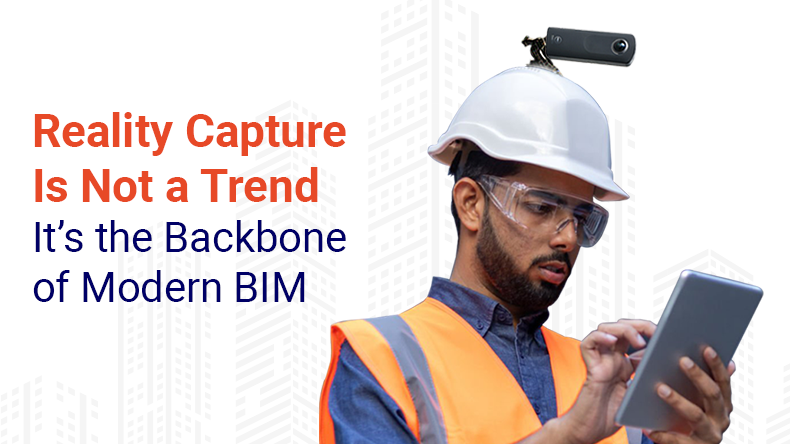
Building your model on guesswork or outdated drawings invites RFIs, clashes, and rework. That’s where reality capture changes everything. Through integrating 3D laser scanning, 360° photo-documentation, and intelligent tools such as Lens360 and iFieldSmart, project groups can create, coordinate, and construct utilizing correct site data in real life that is verifiable, visual, and accurate from the very start.
Why Real-World Accuracy Is Non-Negotiable
Most coordination issues don’t start during construction. They start in preconstruction because someone used legacy drawings or guessed at existing conditions. You’ve seen it: wall locations don’t match, ceiling clearances are off, or structural elements weren’t where the plans said they were.
The fix is simple. Scan the site.
Work Smarter, Not Harder
iFieldSmart empowers your team with AI-driven efficiency to simplify scheduling, boost collaboration, and keep projects on track.
Schedule a Meeting3D laser scanning captures millimeter-accurate geometry. That point cloud becomes the base for scan-to-BIM modelling, where you create intelligent Revit models that reflect the real world, not a dated set of PDFs from ten years ago.
This workflow eliminates guesswork before it becomes a field issue. And that’s the real cost-saver.
360° Photo-documentation Is Changing Construction Visibility
Still using static photos and email chains to track jobsite progress? Then you’re probably missing critical context and wasting time chasing answers.
With 360° photo-documentation, you don’t just capture images. You create a navigable timeline of the site that exactly shows what you installed, when, and where.
This is where tools like Lens360 shine. It lets project teams virtually walk the site, compare progress across time, and visually confirm install conditions before slab pours, inspections, or closeouts. It’s documentation you can use, not just an archive.
Need to validate pre-close-in MEP? It’s there. Want to check framing progress from last month? You’ve got it. It’s not about flashy tech; it’s about removing ambiguity.
From Field to Model to Facility: Closing the Loop with Connected Platforms
Capturing accurate field data is one thing. Making it usable across the project lifecycle is another.
That’s where integrated platforms like iFieldSmart come in. When your photo documentation, point clouds, and BIM models live in one environment, teams work off the same verified truth. Designers, coordinators, superintendents, and even facility teams all access the same site data organized, time-stamped, and tied to real-world geometry.
The result? Fewer coordination delays, faster decisions, and a true foundation for building a digital twin ready for long-term operations.
Why Clash Detection Fails Without Reality Capture
Here’s the truth: clash detection only works when your BIM model reflects real-world conditions. If you build your model on outdated assumptions, you catch theoretical clashes while missing the real ones hiding in plain sight.
When you use reality capture to generate the base model, you’re coordinating trades based on what’s there. That means less duct rerouting onsite, fewer last-minute RFIs, and smoother installs.
It’s not a high-tech add-on. It’s just how you prevent problems before they happen.
Who Benefits from Doing This Right
Let’s break it down by role:
- Architects stop guessing on as-builts and start designing from verified site situations.
- General contractors and MEP coordinators use accurate models to reduce installation issues.
- Facility managers inherit detailed, up-to-date models and imagery for O&M, no gaps, no guesswork.
- Owners close projects faster with fewer change orders and better documentation.
These aren’t side benefits. They’re core outcomes of a workflow grounded in reality.
Final Word: Reality First, Everything Else Second
If you’re still treating reality capture like a luxury, you’re behind. The best-performing teams today don’t just model, they document, verify, and build from real conditions.
Scan-to-BIM, 360° photo-documentation, and connected platforms like iFieldSmart aren’t bells and whistles. They’re the reason some teams finish ahead of schedule, while others scramble to rework what could’ve been caught in preconstruction.
So don’t wait for the RFIs to pile up. Start with the site. Build from the facts.